Top Withens
The remote, abandoned farm of Top Withens (or Top Withins) is often thought of as the inspiration for the Wuthering Heights farmhouse although its appearance does not match the house in the book. Its location though does suggest the isolated and windswept site of the Heights. Top Withens is located about 5 kilometers south-west of Haworth.
Originally known as "Top of th'Withens", Top Withens was probably built in the second half of the 16th century by George Bentley (or his relatives). At the time of the Brontës, it was inhabited by Jonas Sunderland and his wife Ann Crabtree (from 1811) and then their son, Jonas, with Mary Feather (from 1833). It was last inhabited by Ernest Roddy in 1926.
A Visit to Top Withens
Entering through the narrow porch, you come into a large raftered room with a stone fireplace. A second, smaller room lies through the door opposite, containing also a stone fireplace and from the window of which there is a fine view over the moors towards Haworth. Through a door to your left you pass into a narrow vaulted cellar. On entering this there is an opening on your left, a small compartment with a square shaft in the roof. Putting one's head through this one finds oneself looking through the floor of a large barn which was formerly the peat house.
From "The Souvenir Guide to Haworth: Home of the Brontës" by John Lock (1956)
It was Ellen Nussey, a lifelong friend of Charlotte Brontë, who said that Top Withens was the model for the farmhouse of Wuthering Heights. She suggested it to Edward Morison Wimperis, an artist commissioned to illustrate the Brontë novels in 1872.1
There is no direct mention in any of the Brontë writings although it seems highly improbable that Emily would never have visited Top Withens on her walks.
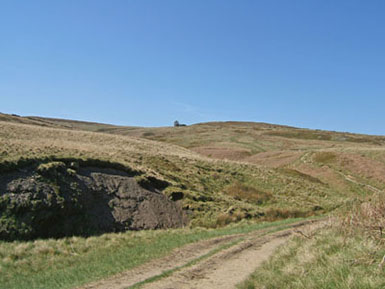
Approach to Top Withens
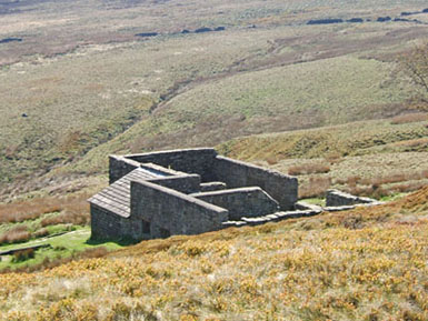
Top Withens from the north
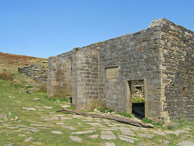
Top Withens from the south
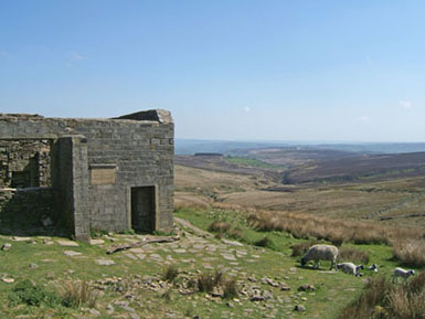
Top Withens from the west
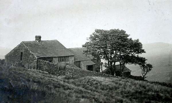
Top Withens in the 1920s
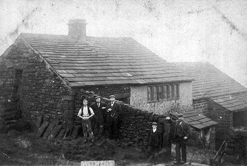
The Sunderland family at Top Withens
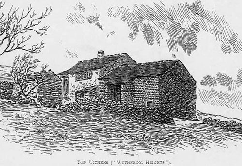
Drawing of old Top Withens
Visiting Top Withens
The usual way to visit Top Withens is by walking from Haworth along the well-marked path which runs past the Brontë waterfall. If this distance is too far, there are car parks and a toilet on the road which runs from Stanbury to Oxenhope (Moor Side Lane). There is one path which goes directly to Top Withens, past Leeshaw Reservoir and avoiding the waterfall (this path is directly opposite the toilets on the road). The other path, passing the waterfall, starts opposite the minor road to Haworth. Make sure you choose the correct one (I picked the first one and had to tramp across the moors to find the falls). The view you get on this path as you approach the ruins in shown in the first picture.
More details can be found on the Visiting the Wuthering Heights Locations page.
There is a shorter, alternate route from Ponden Hall passing Ponden Kirk. However, this avoids the waterfall. It is not such a clear route and the ground is more difficult.
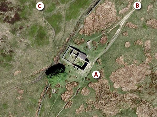
A location map of Top Withens can be seen here and the aerial view here. It is also marked on the Google Map of Emily Brontë/Wuthering Heights locations.
| Latitude | Longitude | OS Reference | Altitude | |
|---|---|---|---|---|
| 53° 48.9′ N | 2° 1.8′ W | SD 981 353 | 413 m |
Aerial View of Top Withens (© Google Maps)
(A) Top Withens; (B) the path from Haworth; (C) the path from Ponden Kirk
1. Haworth and the Brontës. Phyllis Bentley and John Ogden, 1977.